Leeds flooding: Five flood alerts in place in the city - immediate action required
and live on Freeview channel 276
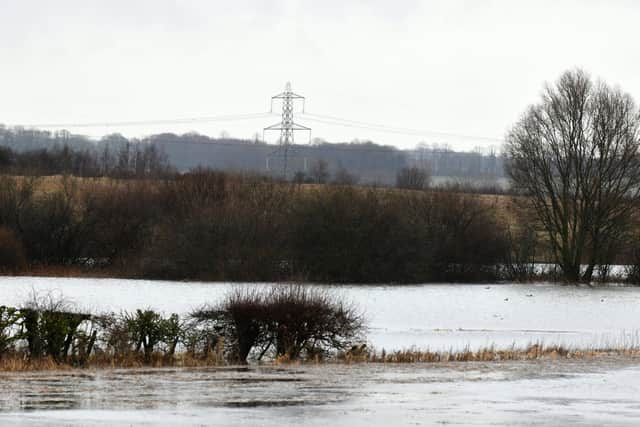
Collingham Beck at Collingham
Flooding is expecting to continue for the Collingham Beck at Collingham to the recent heavy rain.
The level of the River Wharfe at Collingham is 3.95m and is expected remain high as further heavy rain is expected until Thursday, the Environment Agency said.

The level of Bardsey Beck at Bardsey is 1.26m.
Advertisement
Hide AdAdvertisement
Hide AdAreas most at risk are at the lower end of Collingham Beck near the River Wharfe.
The Environment Agency has urged people to "avoid using low lying footpaths near local watercourses and put your flood plan into action."
This information is correct as of 5:27pm (Weds 20).
River Aire at Allerton Ings, Barnsdale Road
A flood warning remains in place for the River Aire at Allerton Ings, Barnsdale Road and Properties, in Allertown Bywater.
The Environment Agency reports that the river levels are continuing to rise as a result of the heavy and persistent rainfall associated with Storm Christoph.
Advertisement
Hide AdAdvertisement
Hide AdIt expects the spillway to continue to operate until Thursday lunchtime. We are closely monitoring the situation.
This is the latest information and was last updated at 4:12pm (Weds 20).
River Calder at Methley and Mickletown
Flood is expected by the River Calder at Methley and Mickletown.
The Environment Agency said: "River levels on the River Calder at Methley are high and continue to rise slowly as a result of the heavy and persistent rainfall associated with Storm Christoph.
Advertisement
Hide AdAdvertisement
Hide Ad"They are forecast to remain high before starting to fall Thursday afternoon.
"Areas most at risk are properties in the Methley and Mickletown area.
"Please avoid using low-lying footpaths and roads near watercourses, and plan driving routes to avoid low-lying land that may be flooded"
This information was last updated at 8.55pm (Weds 20)
River Calder at Stanley
River levels are high at the River Calder by Methley.
They are continuing to rise.
The Environment Agency said: "Areas most at risk are properties Altofts Ings, the northern end of Foxholes Lane."
Advertisement
Hide AdAdvertisement
Hide AdThis is the latest information and was last updated at 8.49pm (Weds 20).
River Calder at Whitwood Mere
River levels are high on the River Calder at Whitwood Mere.
Areas most at risk are properties in the Whitwood Mere area.
This information was last updated at 9pm (Weds 20).
There are 11 flood alerts in place - this means flooding is possible and people should be prepared:
Lower River Aire catchment
Lower River Calder catchment
Lower River Nidd catchment
Lower River Wharfe
Middle River Aire catchment
River Crimple catchment
River Spen and Batley Beck catchments
Tidal River Ouse from Naburn Lock to Selby
Tidal River Wharfe
Upper River Calder catchment
Wyke Beck, Meanwood Beck and Wortley Beck catchments