Leeds heatwave: City braced as Met Office issues yellow thunderstorm warning
and live on Freeview channel 276
Latest forecasting plots the greatest chance of a downpour from mother nature between 2pm and 4pm today at 6pm and between 8pm and 9pm.
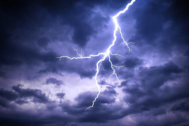
A yellow warning highlights the potential for frequent lightning, large hail and flash flooding impacts from the intense rainfall which could see values of at least 50mm in a two or three-hour period in a few places.
Advertisement
Hide AdAdvertisement
Hide Ad

Dan Suri, Met Office chief forecaster, said: “The change in weather regime will see the heat of the last few days slip away from the south and east, this will be increasingly replaced with more unsettled conditions with heavy showers, thunderstorms and torrential downpours being key hazards over the UK until Wednesday.
“Although not all places will be affected, where thunderstorms occur there is the potential to for very large rainfall totals, but when that heavy rain is falling on extremely dry ground, the risk of flash flooding is much more pronounced.
He added: "With no meaningful rainfall in some southern locations since June, soils in these areas have become baked by the sun turning them into hard almost impenetrable surfaces. Any rainfall in these areas won’t be able to soak away and instead it will wash off soils and other hard surfaces, creating flash flooding in some areas. This excess water can rapidly inundate some flood-prone areas. Particular areas of cautions are low-lying stretches of road and those areas adjoining sloping fields where water can quickly run off, creating fast-emerging hazards.”